See Where We Are Now!
We have a new addition to our blog site. It is called “See Where We Are Now!”. We have installed a tracker on the boat and it takes a reading every 10 minutes while we are under way and makes a bread crumb trail. So now you can see where we are and where we have been! Here is how to use it:
1. On the banner at the top of the blog, you will see “Home” “About Bill and Kristin” “Tour Sacagawea” “See Where We Are Now!”, and “Contact Us”.
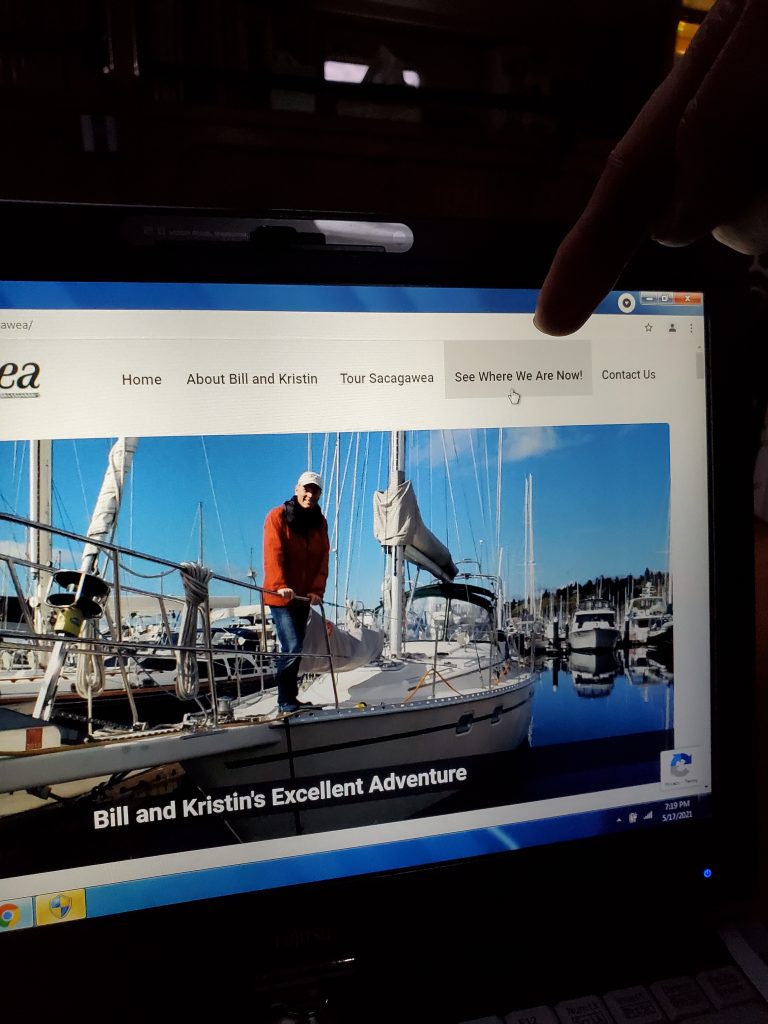
2. Select ”See Where We Are Now!”, then scroll down the page. You will see an orange ad for inReach overlaid on the map, click the “X” in the upper right of the ad to close that.
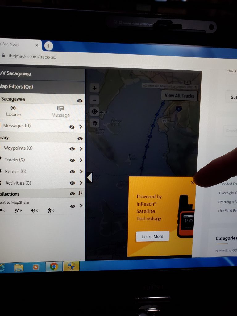
3. Now the map appears, but dimly, and there is a menu on the left half of the page. Click on the left arrow on the left side of the map to close the menu and open the map the whole way.
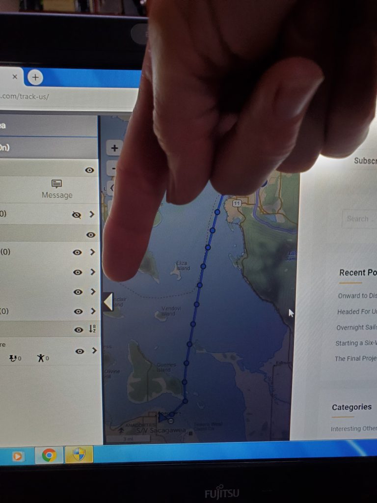
4. The map will automatically show the most recent track. Zoom in or zoom out with the + and – signs.
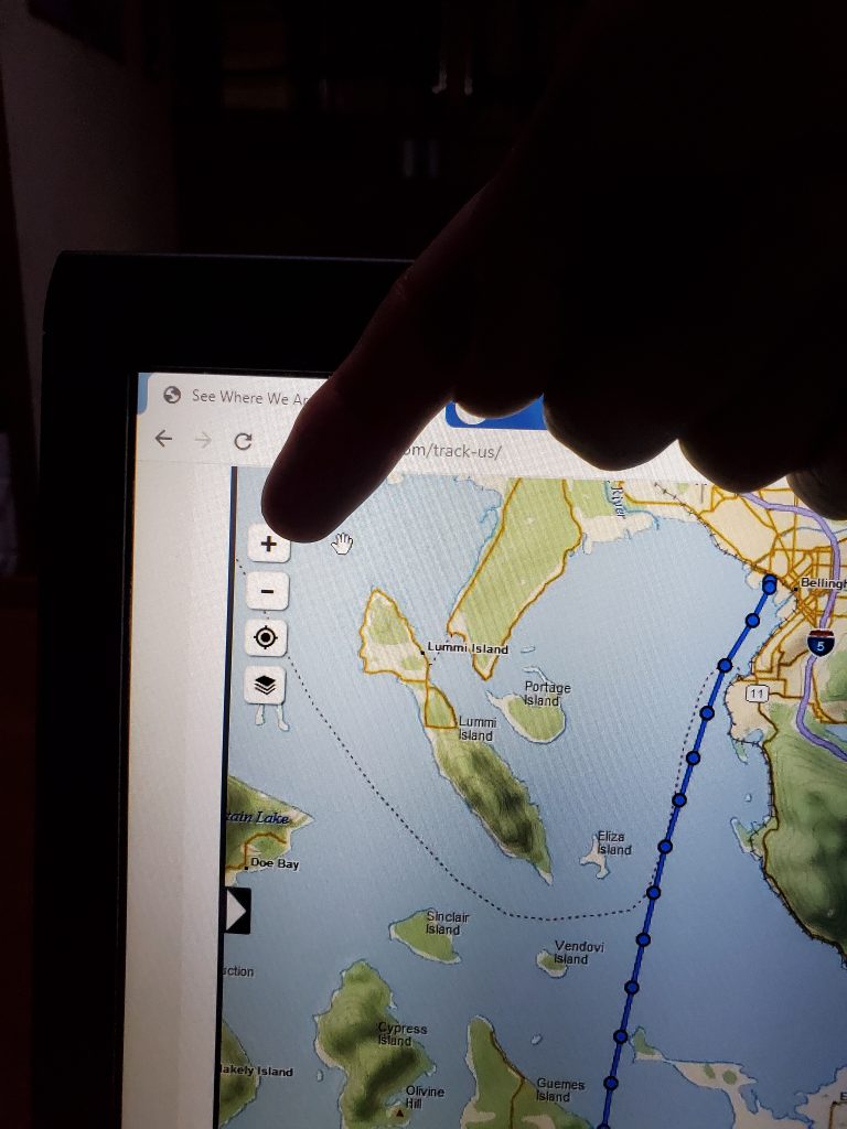
5. Click the button under the minus sign and it will put our most recent position right in the middle of your page.
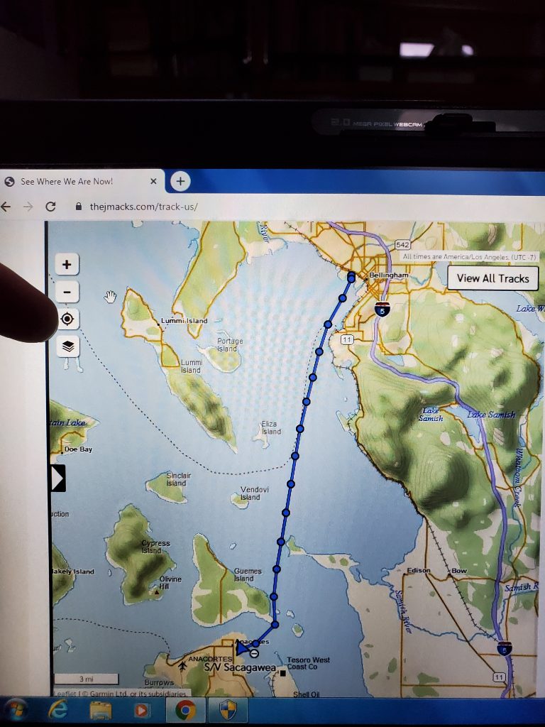
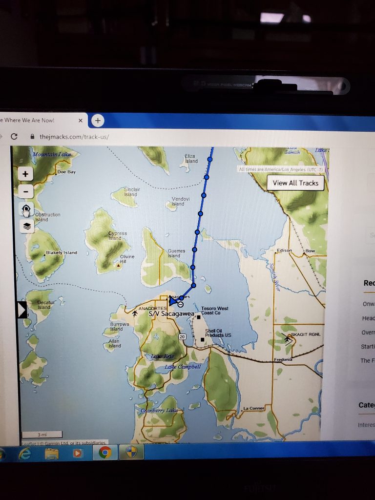
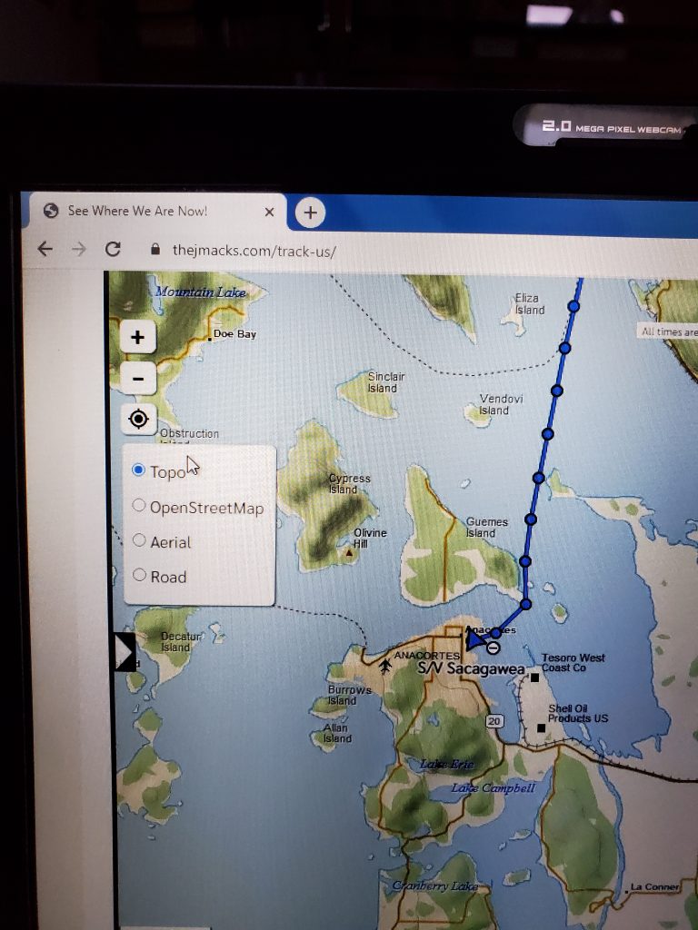
6. Click on the folded map icon and it pulls up a menu. Click “Aerial” and it goes to a satellite view. I like that one! Click “Open Street Map” it labels the island in dark green and bays in blue.
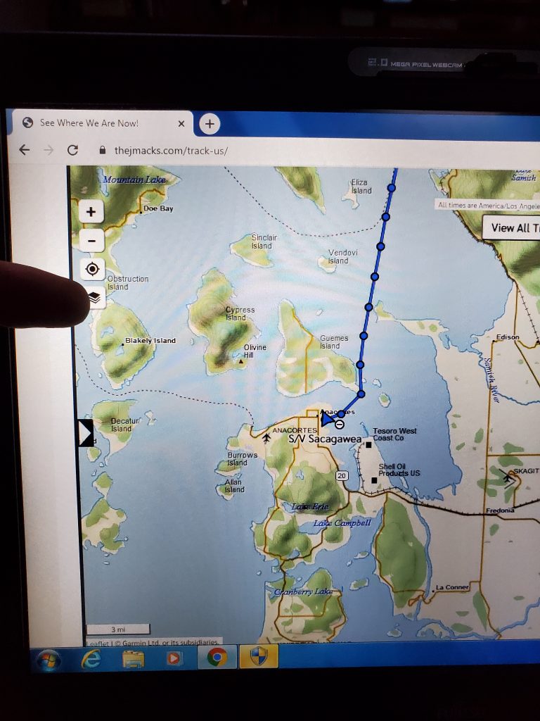
7. In the upper right corner there is “View All Tracks” to see all of the circles we have made so far. Then it changes to “View Recent Tracks” to go back to just the most recent.
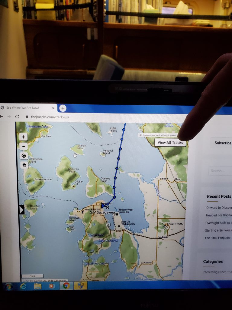
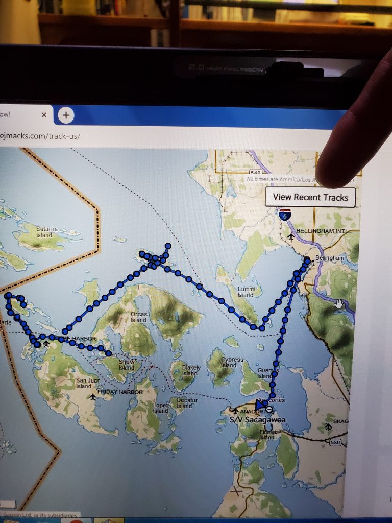
We hope you (our crew!) have fun following along with us. We are working hard to bring the blog up to current so that we can post pictures and stories that go along with the tracks. We LOVE the comments! Keep them coming!
Make sure to check out the “Tour Sacagawea” tab as well, we love our boat!


This is freaking SO cool! Thanks for including us, Captain! I shall be aboard for the entirety … sometimes as a stowaway.
Those are very detailed instructions! I chose to ignore all of it and just click on buttons and stuff. What I learned is… LEAVE Anacortes! Just get out! Go! Miss and love you guys!
Sweet!!!!!