Bahia Concepcion Excursion
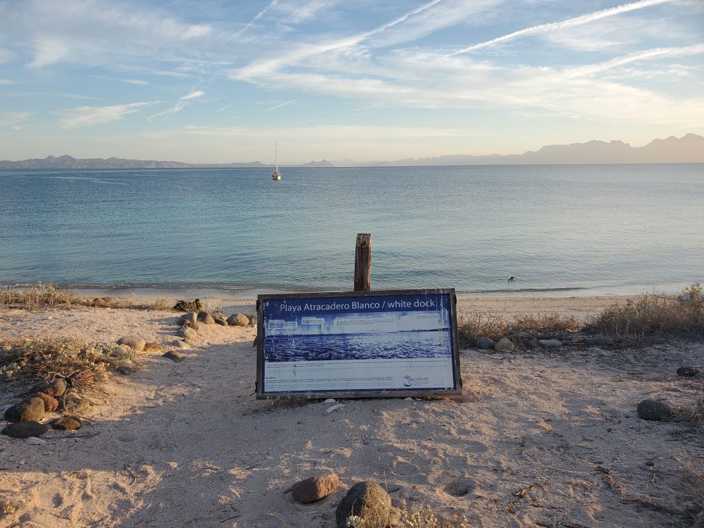
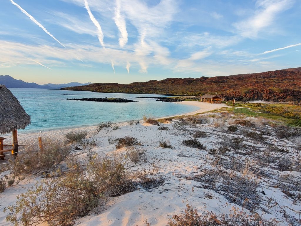
It was fun to be docked in a marina again. We hadn’t been tied to land since October 31 in San Diego. We took advantage of a few days attached to water and electricity to do laundry, wash down the boat, download whale shark footage, upload a blog, buy a bunch of Christmas gifts online, and provision. Then we were ready to continue on, there is so much to see! We finished up some internet and phone call chores and headed out at 1pm for a 19 mile trip to Isla Coronados. The island is volcanic and there is a trail to the top. We had the anchor set on the south side of the island by 4:45 and did a quick jog over to the other side to check out the west anchorage and find the trailhead to the top of the volcano. The anchorage on the west side was beautiful! It had a sugar white sand beach, turquoise water, and a cute picnic shelter. We made just a quick overnight stop here but we planned be back!
We pulled up the anchor at 9:45 the next morning with a light 7 knot breeze from directly behind. Punta Pulpito was twenty-nine miles north so we used the engine to make time. At first it appeared that Punta Pulpito was an island because it stands so much taller than the land behind it. I was confused for some time as we made way, trying to put together what I saw on the map and what I was seeing in front of me. It seems so easy to just look around and know what land feature lines up with which map feature but it isn’t at all. Sometimes an obvious bay on the map looks like just straight coastline or a little creek can look like a river, or in this case a tall point on the shoreline can look like an island. It wasn’t until we were close enough that the curvature of the earth allowed me to see the lower land connecting the point. I had a literal out loud “Ah ha!” moment. Bill looked at me with a “what” face. I said, “I know where we are now!” He said “you are not really inspiring confidence” Well, I missed all the deadly obstacles, and didn’t bypass the anchorage so, good enough?
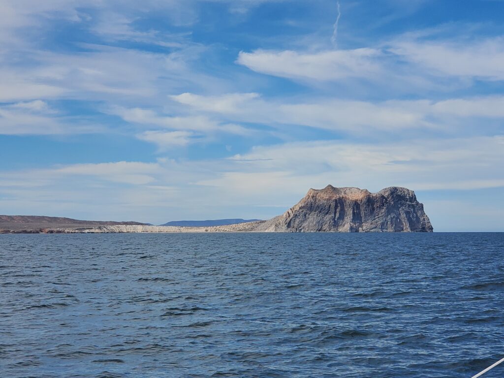
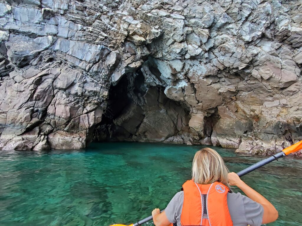
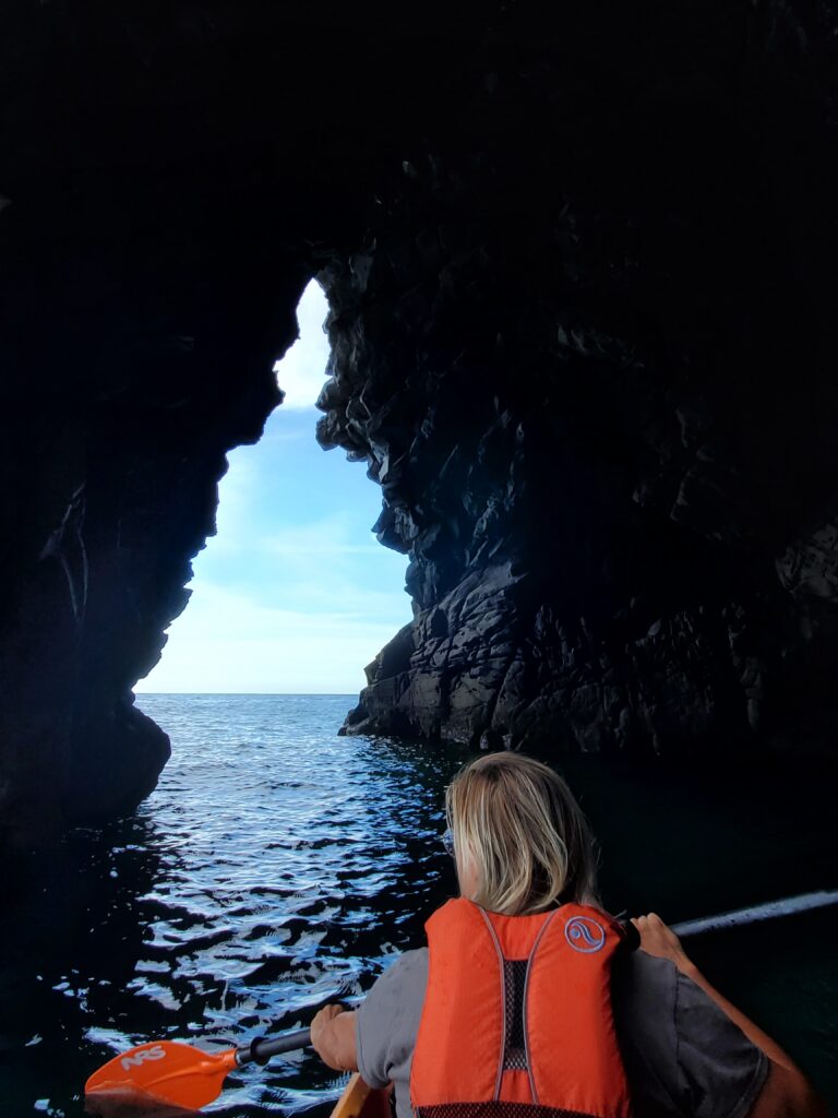
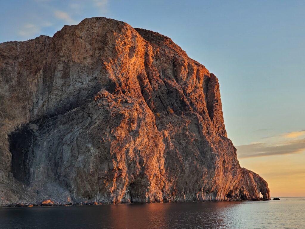
We pulled into the completely empty anchorage under the dramatic rock cliffs of the pulpit, Punta Pulpito. We gazed up at the rock face and felt small. We were wasting daylight! There was a sea arch with a 90 degree turn in it to check out and a hike up the pulpit with obsidian to find! We dropped the kayak and headed out. The waves and swell definitely feel much larger from the perspective of the kayak. That together with the high cliffs made us feel a little vulnerable as we paddled around the point to the spot where the arch was supposedly located. We came around the tip and there it was exactly as described! It felt like we had found the X on the treasure map. We went through cautiously once and decided to make another trip around with full confidence to get pictures the second time. Loved it!
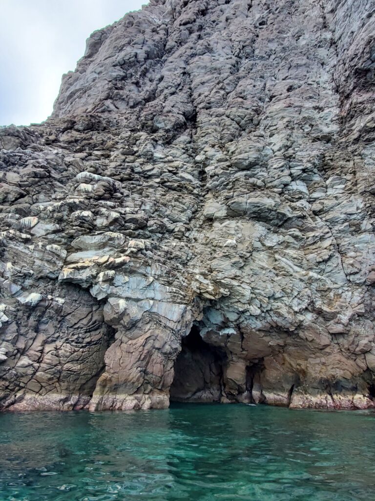
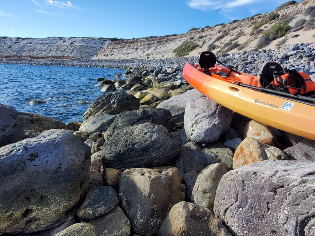
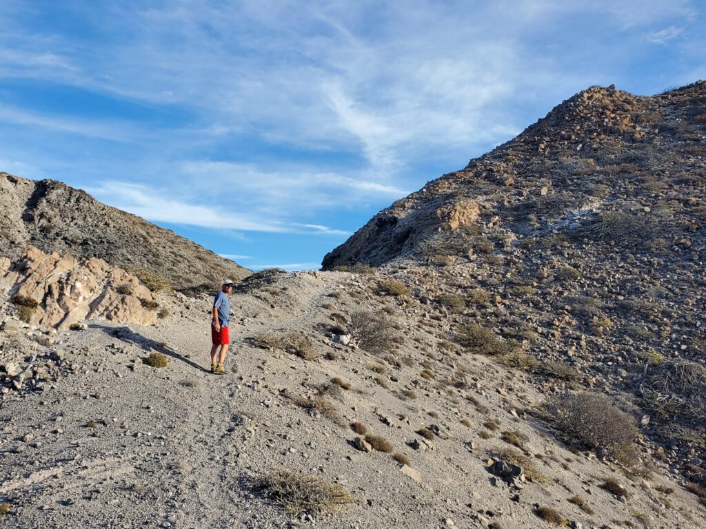
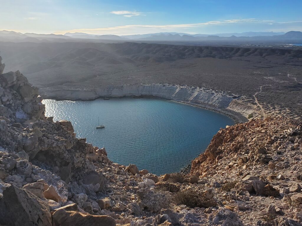
The hike started back by where we had anchored about ½ mile away. We paddled over but there was no beach to land on. We had to land on the rocks, boulders really. Well, now that I was an expert beach lander, it was time to up the skill level, no problem. Bill wedged us in between two large rocks and I carefully exited the kayak feeling certain that the rocks would be slippery with sea growth. It was fine, no problem, yay! Now we had to rock climb with the kayak to bring it above the surf line. That was a slow, tedious, venture. Step up on a rock, pick up the kayak and set it down, step up on a rock pick up the kayak and set it down step by step until it was well up out of the water. As we were changing our shoes, we noted a barbed wire fence between the rocks and the trail. Should we have taken it as a sign not to go on this hike? No way! We found an opening in the wire and started walking. It was a great hike and before we knew it we were on top of the pulpit looking down on Sacagawea. We also found a one-inch piece of black glassy obsidian. It was such a great day!
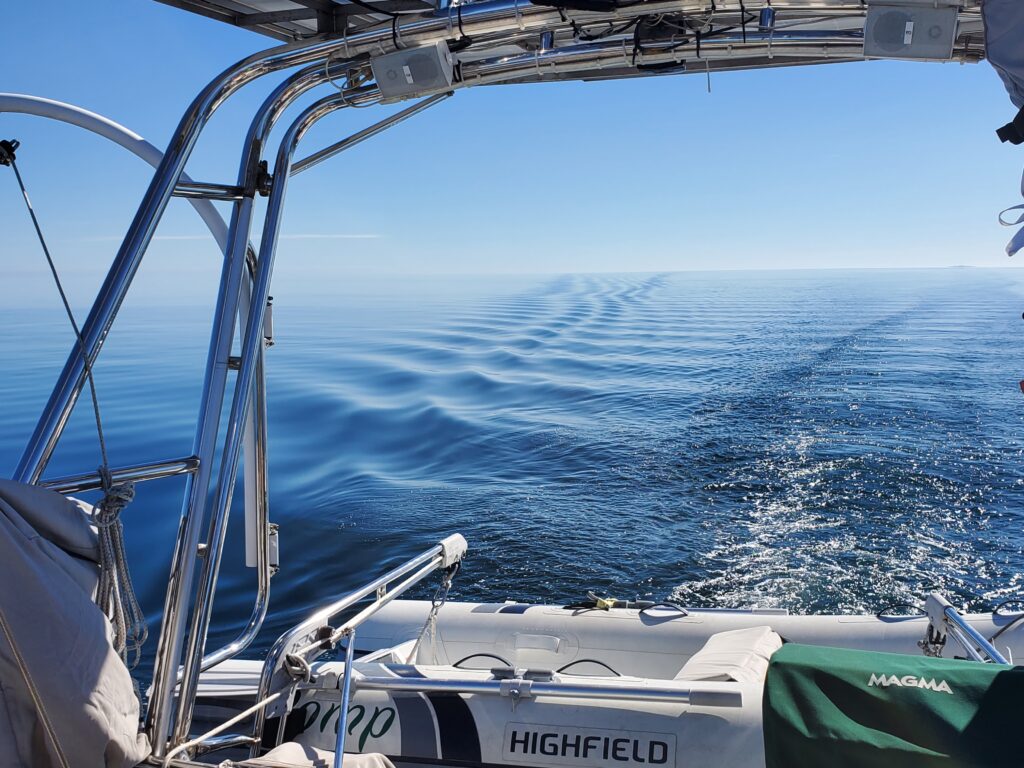
We woke up early the next morning excited to get going to Bahia Concepcion. The long bay is created by a 25 mile long peninsula oriented pointing north paralleling the mainland. At certain times of the year calving whales frequent the area. We were hoping to see some! There are several interesting anchorages to check out around the bay so we had planned 5 days to explore allowing time to wait out weather if needed. When the wind blows hard from the north, the water is said to get pretty rough up here. We already knew that a north blow was forecast for our first two days but then it was predicted to settle for our last three days. We decided to head for Santispac first. It was protected by a hill from the north and was surrounded by small islets to diminish swell and waves. For most of the day there was absolutely no wind and the water was so incredibly flat and limpid we could see our wake spread out to the horizon line. As we turned around Punta Concepcion and entered the bay the wind started to kick up. Out came the sails in a fun 10 knot breeze behind our beam. We were headed south now! The wind built over the next two hours to 18 knots and we felt we had perfect timing as we took in the sails, threaded between the islets and ducked behind the hill while the wind continued to build out in the bay.
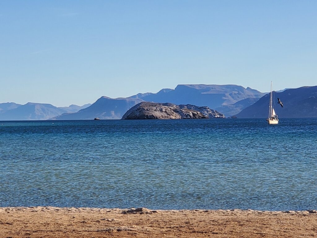
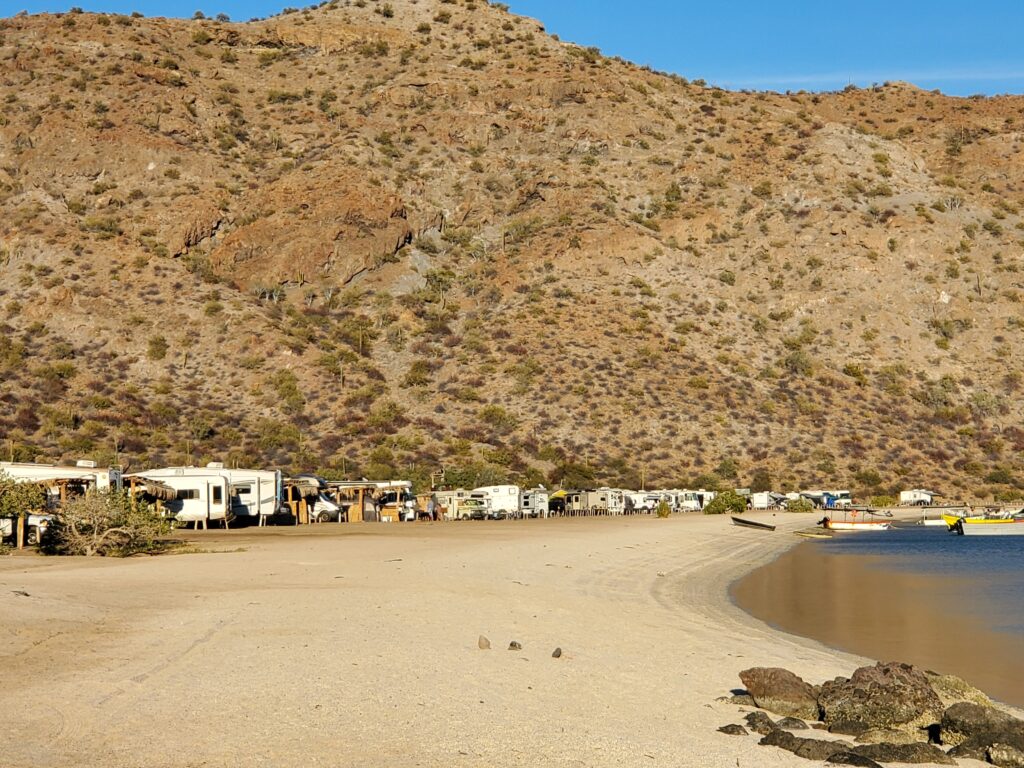
It was a good place to wait out the weather. We took the dinghy in to the beach where there were RVs encamped along the dirt road overlooking the water. There were water toys secured underneath the campers, large shade cloths extended off the RVs to create a back porch on the beach, folding chairs and folding tables were set under the shades, and barbeque grills were ready to light. We felt like we were nomads in Nomadville! There were two small bar/restaurants on the beach. We decided to go to the right side one for a taco and a beer. It was fun to just sit and watch. We walked the beach to the other bar. It was standing room only! People around here take happy hour seriously. We thought we should check it out tomorrow.
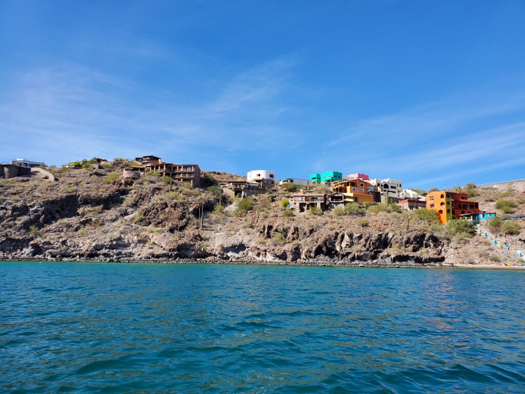
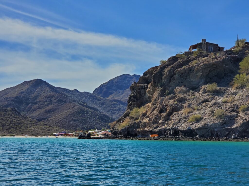
We made a dinghy excursion the next day. There were supposed to be hot springs along the way to Playa Burro which was just around the corner so we slowly motored along the beach looking for signs of hotsprings and admiring some very colorful houses. We had no luck in finding any soaking pools. We continued around to the next bay, Playa Burro, where there was said to be a hike starting right behind the restaurant. We could see part of the trail as we came in but the lowest part was not clearly evident. We dragged the dinghy up the beach, changed from sandals to hiking shoes, and started out.
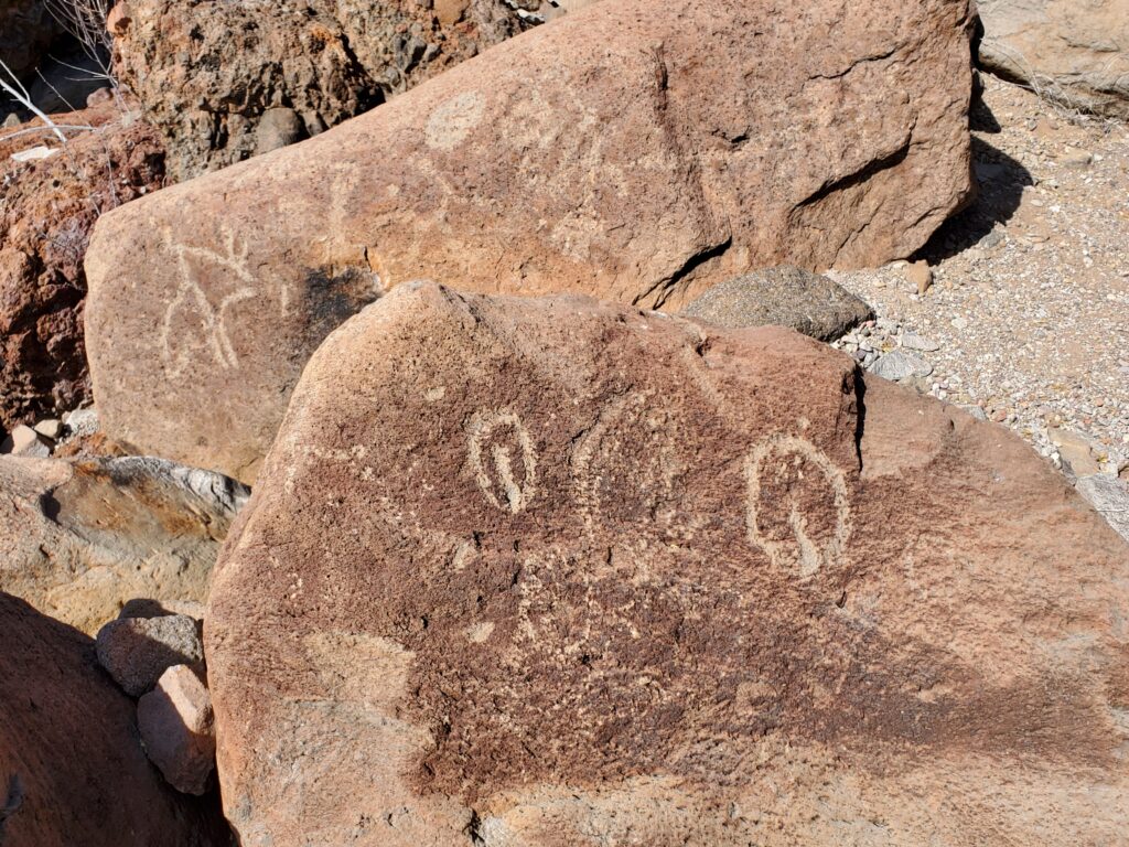
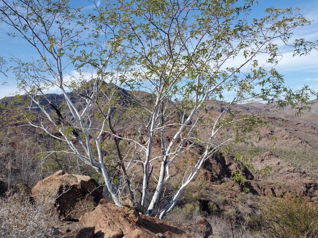
We decided the trail must start though the culvert located right behind the restaurant because the guide book surely would have mentioned the trail starting across the highway if that were the case. It was dark and spooky as we ducked under spider webs and stepped over trash. We decided we would return a different way. Bill found a trail of rock cairns and we followed them to a dead-end. We were higher now and were able to see at least 6 small trails criss-crossing the rocks to the main trail across the gully. We back tracked to the actual trail, finding a handful of petroglyph-adorned boulders along the way, thinking no wonder the lower section wasn’t clearly seen on the way in. Further up the mountain were rocks with such high iron content that they sounded like bells when I hit them with my hiking pole. At the top we were rewarded with some beautiful, white-barked trees and a very interesting view. It looked like there was a line drawn along the geography with one side desert and the other jungle.

We made our way back down, crossed the highway with no issue, and went to the restaurant for a well-deserved lunch. Inside was a boisterous group of card players. One of the ladies came over to chat with us after the game. She lives in the purple house around the corner. We saw it on our dinghy excursion! We inquired about the hot springs and she explained that they were really only usable on a very low tide otherwise they were basically underwater. She told us there was to be live music here in two days so we made a plan to move Sacagawea there for our next anchorage.
We spent the following day working on boat chores and itinerary planning. In the afternoon we took the dinghy in to Armandos, which was practically deserted. Apparently happy hour is only on Tuesdays. Just as well! We were able to get cell service and wifi to call family and take care of business stuff. The food was good, the beer was cold, and the price was right!
We were ready to move to Playa Burro in the morning and planned to visit Santa Barbara and the mangroves near there by kayak before catching the live music. We anchored close to the beach anticipating a nighttime dinghy ride after the show. As we started putting the kayak in the water, unexpected wind started building and along with it waves. We paddled in the building wind and now whitecaps making it within sight of Santa Barbara when we decided it was going to be too much to go back upwind if we kept going. We turned around now heading up wind and up waves. We were drenched with 65 degree water and cooled further by 66 degree wind. It took everything we had to get back to the boat but the exertion kept us warm enough. We were disappointed that we couldn’t explore Santa Barbara but knew we made the right decision and we can’t see everything.
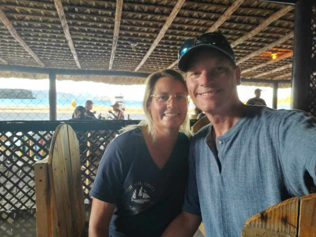
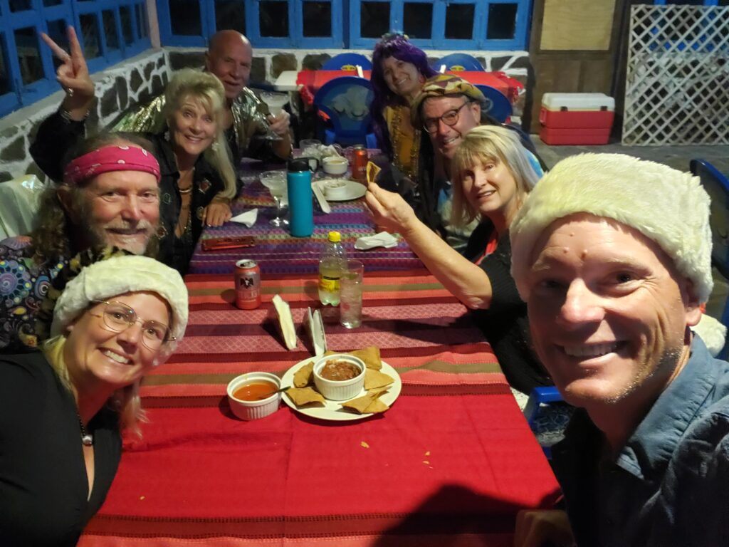
We took hot showers and got ready to go in for the music. Since it was almost Christmas we decided to wear our Santa hats. There turned out not to be any music, not sure of the details but the lady who lives in the purple house and her crew came in dressed up from a 70s party. She was so sweet, apologizing that she had no way to contact us and couldn’t let us know about the cancelation. They invited us to their table and we had a fabulous time with the crazy group.
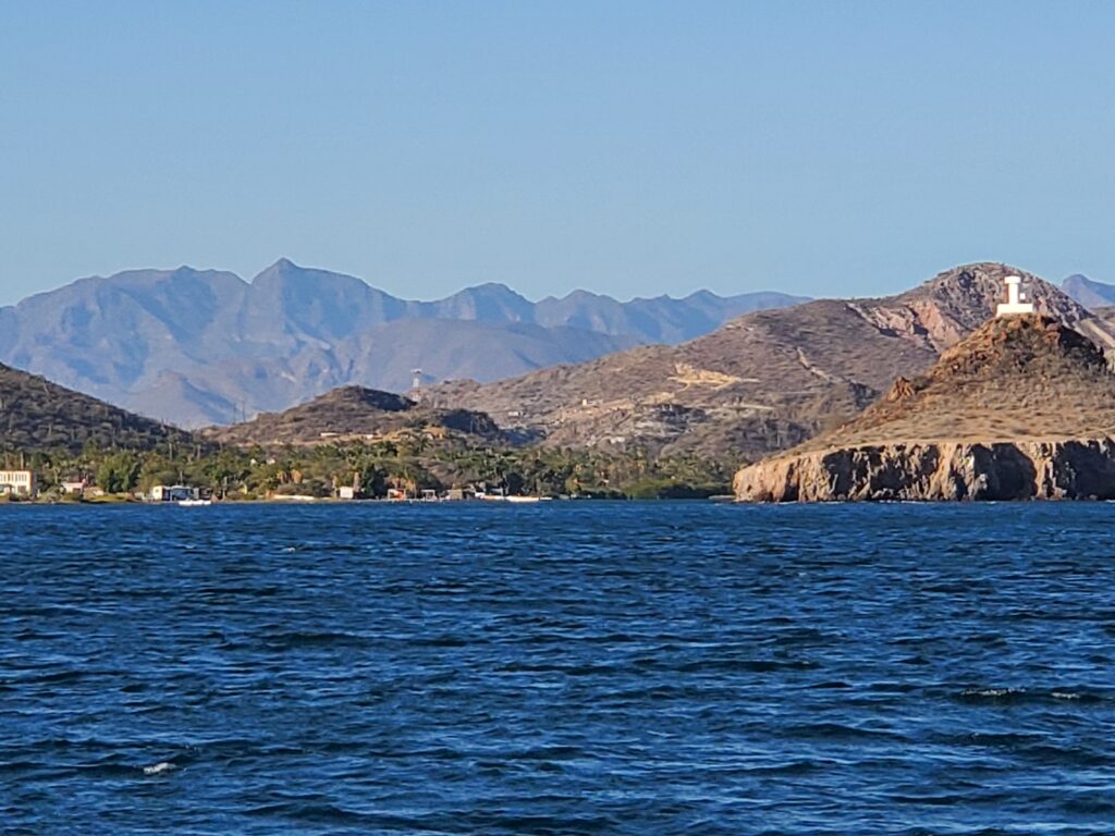
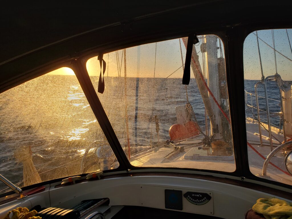
In the morning we pulled up the anchor with our sights set on Isla Requeson, the southernmost anchorage in the bay. More unexpected wind came up right away so we pulled out the sails. The wind continued to build up to 20 knots with gusts up to 25. We reached our destination but there were white caps in the small anchorage and the wind was blowing straight in. There was no protection at all. We could anchor here but we wouldn’t be able to get off the boat in the conditions and we would have to take turns watching to make sure the anchor held. No thanks! We took some pictures, turned around, and had a sporty, salt-splashed sail back to Santispac. To add insult to injury, the Pats lost to the Colts. Dang!
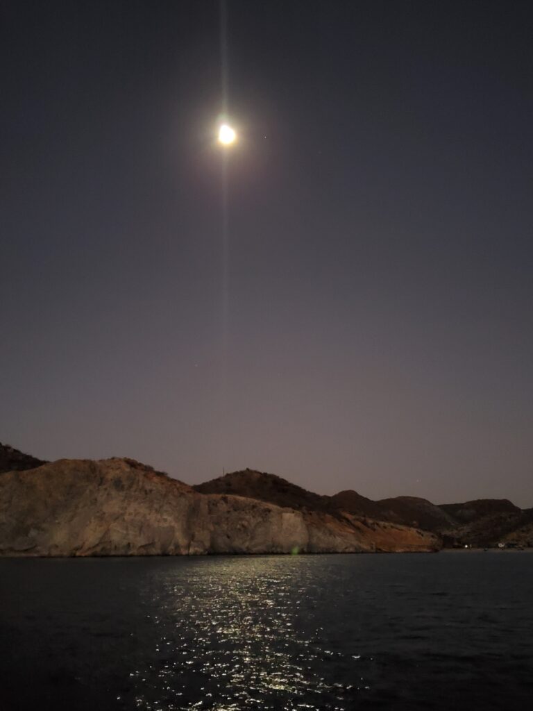
December 19, it was time to start heading back to Puerto Escondido to get ready for guests! We pulled up the anchor just as a little glow of sun started showing in the east and the full moon was setting in the west. We left the bay early to allow time to see Mulege (Moo-la-hay), an interesting looking town described as lush and tropical located up the Rio Santa Rosalia. To this point we had been traveling through desert so tropical would be a big change. The weather would have needed to cooperate for us to be able to leave the boat and dinghy up the river through date palm groves into town. No such luck! More strong wind from the northeast. Well, we can’t see everything.
We circled around and headed back south with plans to stop in Caleta San Juanico. We sailed on and off all day as the wind allowed and entered the beautiful bay just as the sun was setting. As we did we noticed strange red areas in the otherwise clear water. It looked similar to the “red tides” we had seen in Puget Sound in the summertime. The full moon put on another show- lighting up the whole bay and all the rock formations in and around it.
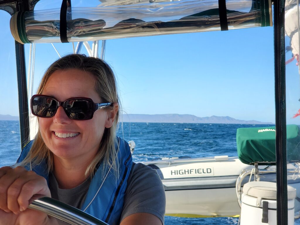


In the morning we put the kayak in the nice calm water and went exploring. We started by checking out an area with potential sea caves to kayak into but being low tide they were all blocked by rocks. We beached the kayak and went for a hike along the ridge trail for some great views. Back to the kayak we paddled along the beach to a freshwater waterway. We hiked along the banks seeing goat and horse hoofprints and other signs of wildlife that enjoyed the freshwater. Back to the kayak we paddled around to a rock formation that looked like a ramp. Of course we climbed to the top. On the other side was a beautiful private residence. We paddled back to Sacagawea and noted more of the strange clouds of red in the water. They grew before our very eyes! We weren’t sure if it was the same nasty algae responsible for the toxic red tides we were familiar with in the US but we decided not to run the water maker when that stuff was around!
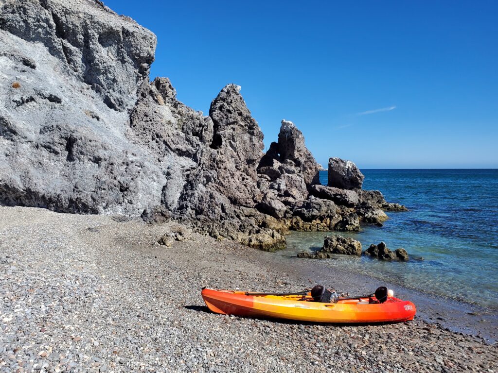
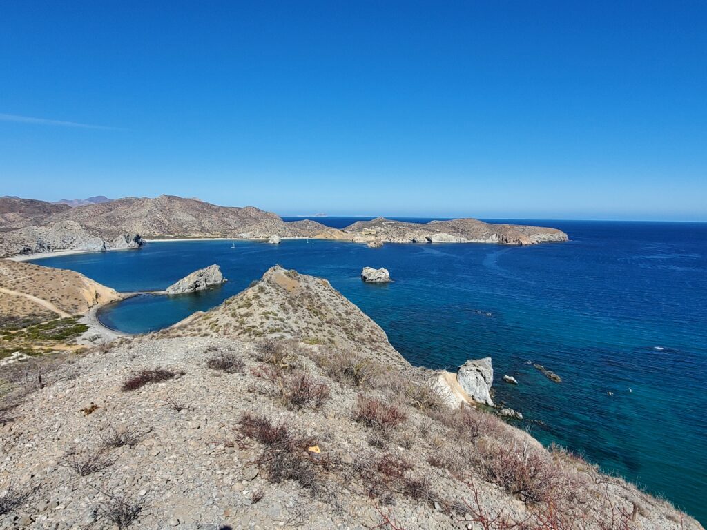
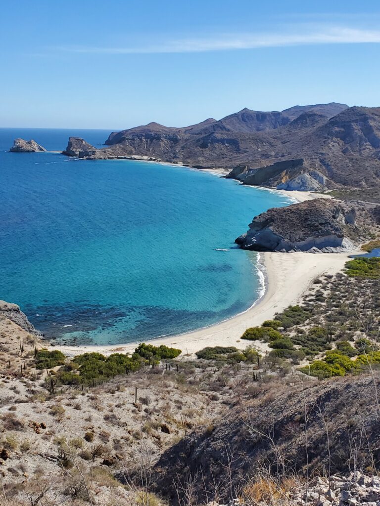


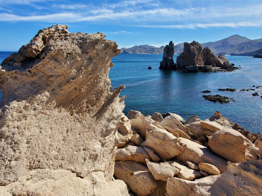
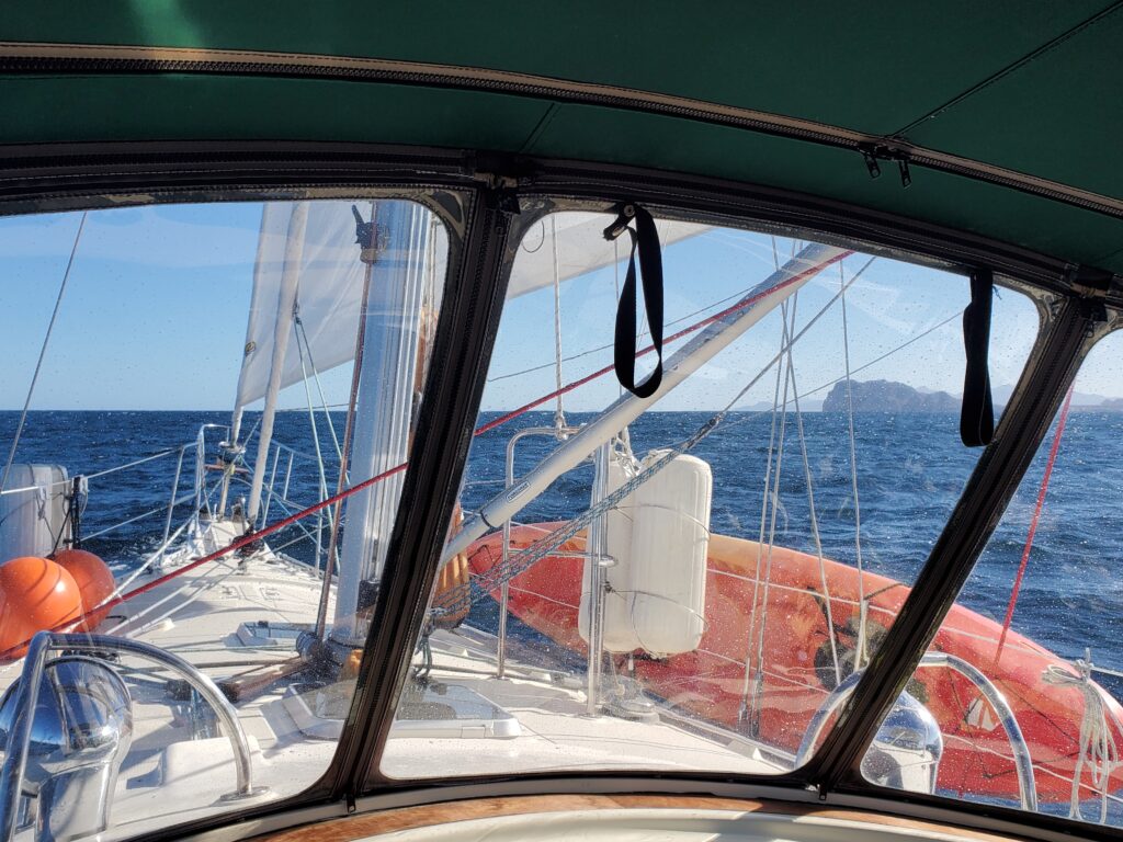
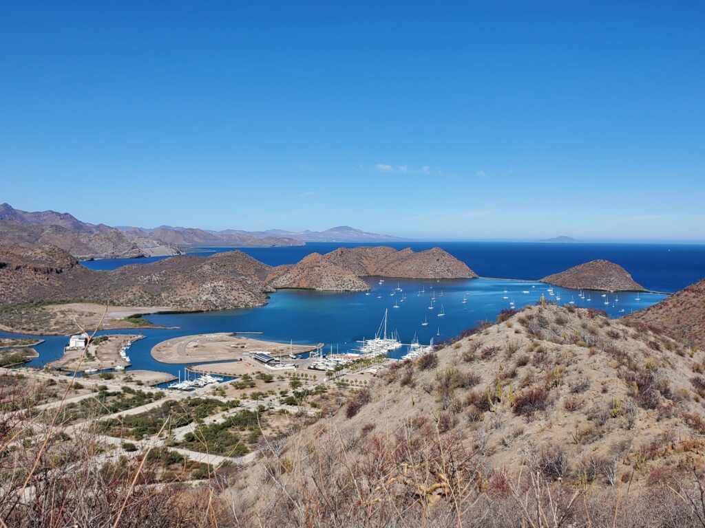
The next morning we raised the anchor with the dawn as the moon still hung in the sky. There were still big waves from the days of high winds from the north. It is amazing how fast the waves become steep and close together in the Sea of Cortez. The sea state at 20 knots of wind here is what we usually experienced with winds of 30 knots in other areas we have sailed. The wind this day was only 10 knots so these waves were leftovers. We had decided that we would go between Isla Coronados and the mainland as opposed to going around the island as we had on our way north. As we approached the shallows, the water was pushed up making the waves build higher and higher, and of course the wind picked up as well. A boat on the other side of the shallows trying to decide whether to cross or not hailed us on the radio and asked about the conditions we were experiencing. We described our experience and they decided not to go north. We asked them about the sea state on their side and whether they had sailed our route before. They said it was flat calm on their side and that the chart was accurate. We would be safe to follow it and to trust our way points on the map. After surfing waves through the narrow pass it felt like we had entered a whole different body of water when we made it across- the wind was still blowing but the water was mostly calm. We were docked back at Puerto Escondido by 2:30 ready to relax. Being in the same place for a second time made it almost feel like home!


WHAT AN AMAZING ADVENTURE……JUST BE SAFE AND HEALTHY…….XOXOXXOXOXO
Never a dull day on the Sacagawea!
HI! I will be back in Mexico April 1-15, first Puerto Moralos near Cancun then Tulum again! Will you be near?
Paula